
I’ve read that it’s CYFB (Iqaluit, Frobisher Bay), BGSF and BKKK, but yeah, that’s my understanding. I take it the possibility was not discussed in the planning for your crossing.CFIDave wrote: ↑Sun Sep 26, 2021 10:06 pm My flight "across the pond" when I wrote this was more than 8 years ago.
However, I've heard that if you cross Greenland via a more northerly route (that includes CYXP, BGSF and BGKK and avoiding Narsarsuaq?), you don't need an HF radio. I don't know if this is "new" or not.
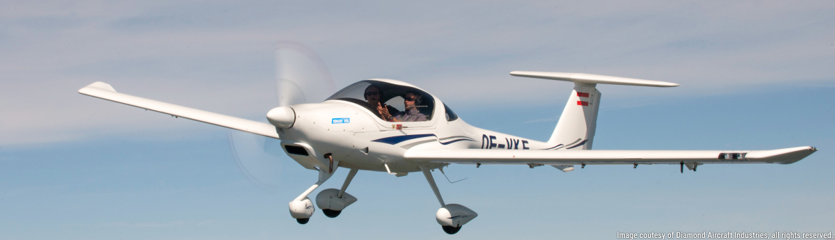
DA42-VI Ferry Flight to North America
Moderators: Rick, Lance Murray
-
photoSteveZ

- 4 Diamonds Member

- Posts: 331
- Joined: Wed Dec 23, 2020 4:10 pm
- First Name: Steve
- Aircraft Type: DA62
- Aircraft Registration: N62DZ
- Airports: KEIK Erie CO
- Has thanked: 406 times
- Been thanked: 244 times
Re: DA42-VI Ferry Flight to North America
-
Ed McDonald

- 3 Diamonds Member

- Posts: 116
- Joined: Wed Jun 09, 2021 1:08 am
- First Name: Ed
- Aircraft Type: DA62NG
- Aircraft Registration: CFPWP
- Airports: CFB6
- Has thanked: 9 times
- Been thanked: 125 times
Re: DA42-VI Ferry Flight to North America
According to the Canadian AIM https://tc.canada.ca/en/aviation/public ... m-tp-14371 page 344/480 one can fly the North Atlantic without HF provided one follows a route specified in the Planning Section C of the Canadian Flight Supplement (CFS). Being Canada where the AIM is published by Transport Canada and the CFS is published by NAV CANADA, the reference is no longer valid.
However, page 361/480 of the AIM provides the VHF frequency coverage and routing. Below FL195 the routing is YFB (Iqualuit) - SF (Sondestrom)-KFV (Keflavik).
I don't have access to a Greenland topographic chart however having flown over Southern Greenland scores of times at FL310 and above, the idea of going over Greenland is not appealing unless one has 02 and are prepared to be flying well above 10,000 ft. Going into Sondestrom would not be fun on a bad weather day either. Depending on high you fly you might be able to have continuous VHF coverage or something close to it.
Around the southern tip is far better terrain wise but there would be a long stretch of water over the Baffin Strait as well as communication gaps. As well, I can't comment on airfields and fuel around the southern tip.
Plenty of people do it including Diamond when ferrying aircraft from Austria to North America so they would have some pointers. Some of their YouTube videos of their ferry flights might also provide some ideas.